ENGEON is a highly scalable, high-performance, service-oriented web platform for managing geodata and spatial metadata. It uses and integrates a wide range of available open-source
technologies and products to provide synergistic effect and a uniform
user experience through a wide range of functionalities.

Top performance
The platform uses state-of-the-art software components that, combined with the platform’s high scalability, provide superior performance.
High scalability
The architecture of the platform allows great scalability to fully meet the needs of users and make optimal use of available hardware resources.
Simple extensibility
The platform can be expanded with arbitrary functionalities, easily integrated with other systems and completely customized.
Modules and functionalities
The platform provides a large number of functionalities organized into modules.
Geodata viewer
Geodata viewer module enables the users to view geodata and navigate the map by using a large number of standard GIS tools.
Geodata editor
Geodata editor module adds various tools and capabilities to enable geodata modifications. It is possible to add new data by drawing and modify and delete existing data.
Geodata querying
Geodata querying module enables the users to use simple and advanced spatial and alphanumeric data querying capabilities on the data stored within the platform.
Geodata interoperability
Geodata interoperability module enables the users to load the data from external OGC web services or offline file formats.
Geodata advanced management
The module introduces advanced concepts for geodata management such as data check-out/check-in, quality control and version history.
Multi-language support
Multi-language support module enables the platform to be displayed and used on arbitrary number of languages.
Geodata document management
Module Geodata document management enables the users to attach documents to features or layers and to search them by their name.
Data model administration
Data model administration module enables the users to add new data sets to the platform and to modify the underlying model of existing ones.
Geodata styler
Geodata styler enables the users to define custom styles for visualization of server and client geodata.
Authentication, Security and User administration
Authentication, Security and User administration module encompasses all security aspects of the platform. From user authentication to definition the data and components access rules in the platform.
Geodata transformation
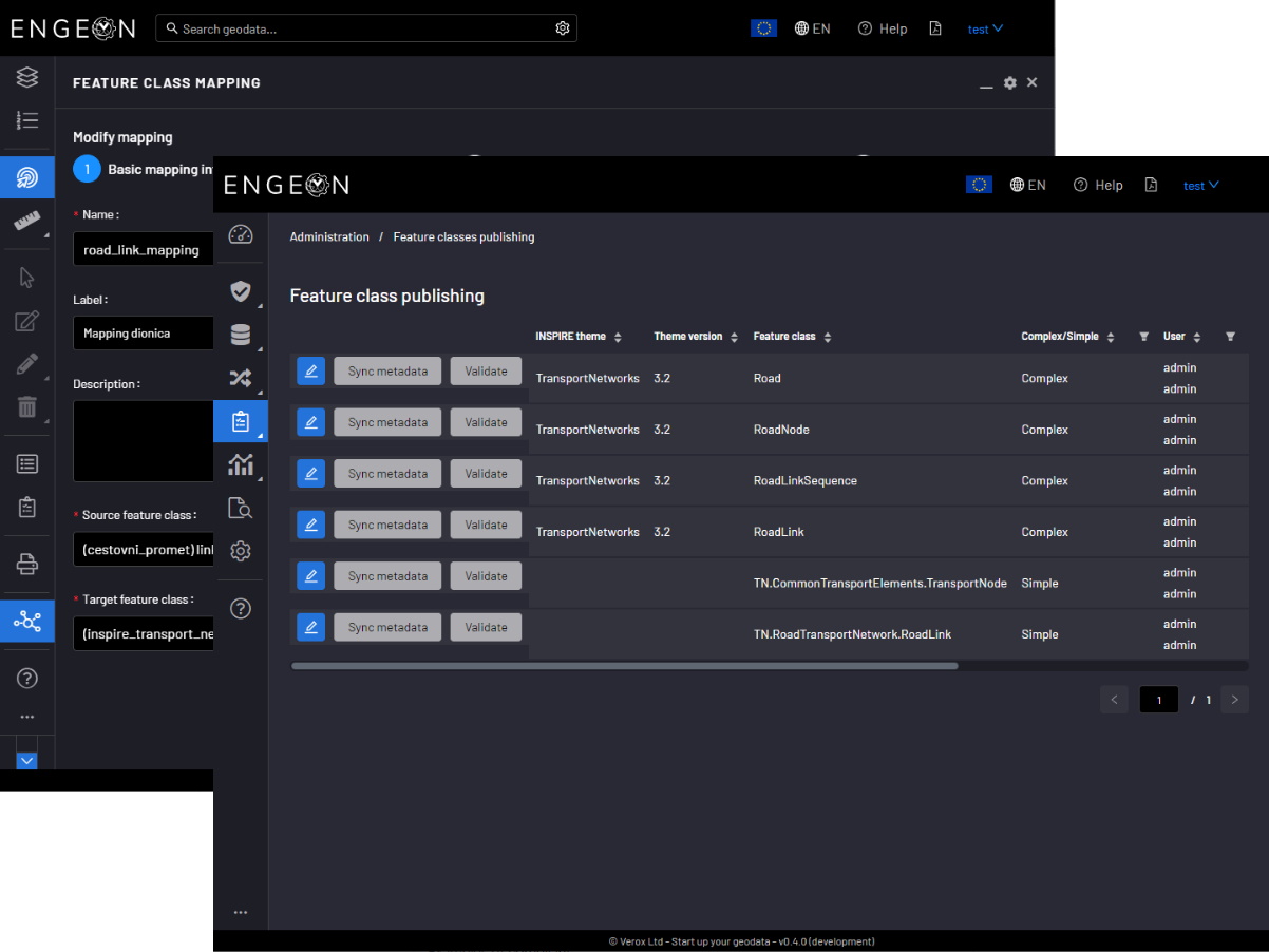
The main functionalities of Geodata transformation module are Feature classes mapping and Data transformation based on that mapping.
Geodata INSPIRE harmonization
Geodata INSPIRE harmonization module enables the geodata publishing and validation of geodata services in real time.
Geodata service statistics and monitoring
Geodata service statistics and monitoring module enables administrators to check the geodata service usage and QoS.

Modern, responsive and configurable interface
The platform interface is made in the most recent technologies, paying special attention to clarity, ease of use and a pleasant user experience. The layout of the panels within the interface can be customized to your own preferences, and the platform is optimized for display on different types and sizes of devices and in all modern web browsers and without the need to use additional extensions or installations.

Support for harmonization of spatial data with the INSPIRE directive
The platform enables the transformation of spatial data into INSPIRE harmonized models and their publication through OGC services compliant with INSPIRE.

History and versioning of spatial data
Data history versioning and review functionality is enabled by built-in recording and tracking of changes made to spatial and alphanumeric data. Any changes made in the data editing process are permanently stored and available for review.
History is available at the layer level and at the individual object level.

Select a dark and light display theme
It is possible to change the color theme of the interface to best suit the preferences of the user and his work environment.

Connecting to other spatial data sources
The platform allows you to load layers from external OGC services with support for authentication and overlay with spatial files in Shapefile, GML, KML, GeoJSON, CSV and DXF format.

Plenty of data search capabilities
Data and document search is based on one of the most popular search engines Elasticsearch. Instant retrieval and ranking of results by relevance, search for similar terms, multicriteria search, transliteration of the entered term, spatial search of objects by entering arbitrary geometry, easy navigation, export and highlighting the results are just some of the implemented search capabilities within the platform.

Freedom to configure and organize content
The platform allows users to load spatial data of arbitrary models and edit existing structures. The organization of data, the way they are displayed, the definition of capabilities and permissions to work on data are easily defined through the administration interface.